Soul Travel to Last Wilderness on Earth – Part 6!
After a 3 days long journey at sea, surviving 2 storms and the bumpy Drake we finally reached Antarctica. We happen to be the fortunate bunch to have gotten the chance to get through the Antarctic Circle. The exhaustion and sleepless nights that the Drake treated us with finally all seemed worth it!
The Antarctic Circle is the most southerly of the five major circles of latitude that mark maps of the Earth. The region south of this circle is known as the Antarctic, and the zone immediately to the north is called the Southern Temperate Zone. The nearest countries to Antarctica are South Africa, Australia, New Zealand, Chile and Argentina. The Arctic and Antarctic Circles are very important on Earth maps. The Arctic Circle is at a latitude of 66.5 degrees north of the Equator. This imaginary circle is the southernmost latitude in the Northern Hemisphere where the sun can remain above or below the horizon for 24 hours (June 21st and December 21st).
The Antarctic Circle is one of the five major circles of latitude that mark maps of the Earth. It is the parallel of latitude at 66° 33′ 39″ south of the Equator, crossing mostly the Southern Ocean. In the Antarctic Circle, all places have twenty-four hours of daylight on the Summer Solstice in December. In March, when I was there it was end of summer for that region and so the longevity of the day had shortened.
The geology of Antarctica includes the rocks, ice, glaciers, and the land itself (way down below the ice). Studying geology can help scientists have a better idea of things like earthquakes, volcanic eruptions, glacier movement, and different types of rocks.

The continent- Antarctica
Antarctica is a remarkable continent – remote, hostile and uninhabited. This frozen continent is key to understanding how our world works, and our impact upon it. Antarctica is important for science because of its profound effect on the Earth’s climate and ocean systems.
What would happen if Antarctica melted?
If all the ice covering Antarctica, Greenland, and in mountain glaciers around the world were to melt, sea level would rise about 70 meters (230 feet). The ocean would cover all the coastal cities. And land area would shrink significantly.
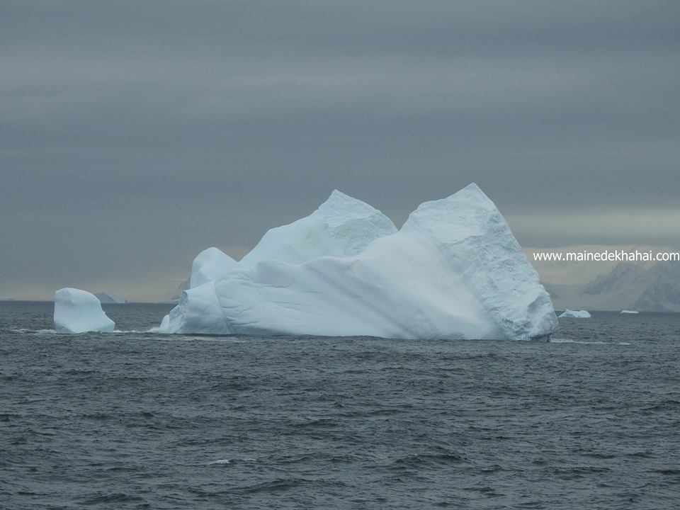
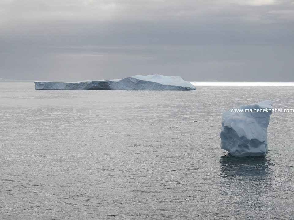
Coming back to the beauty the place holds.
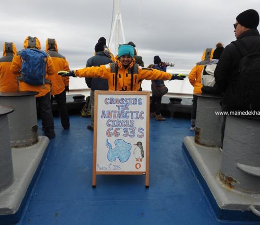
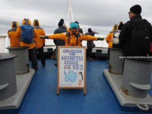
3rd of March morning, it was announced that at 10 am (Argentina time), we would be crossing the Antarctic Circle. Quickly post breakfast we rushed up to the front deck of the ship. It was extremely windy and we were surrounded with small and big pieces of Ice. It was one the coldest days which my mind can recall from the voyage to Antarctica. The other reason why it was cold enough was because it was the very first time we were exposed to such climatic condition.
It was a frozen time of my life. The region I had only seen in Geography books was being lived. I was there crossing Antarctic Circle- 66° 30’ S.
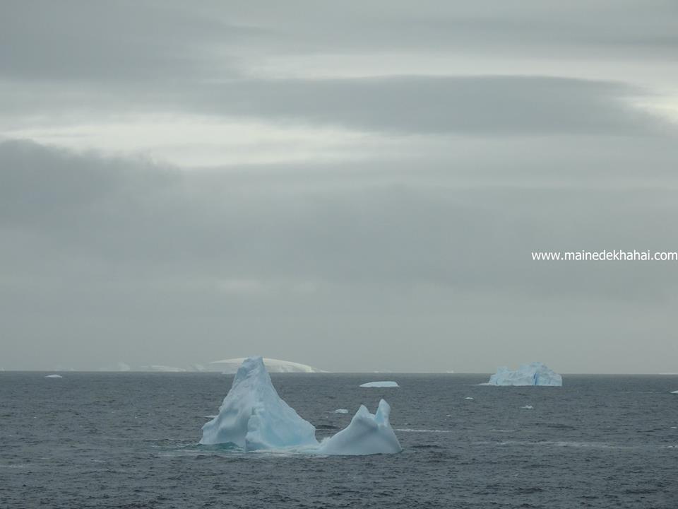
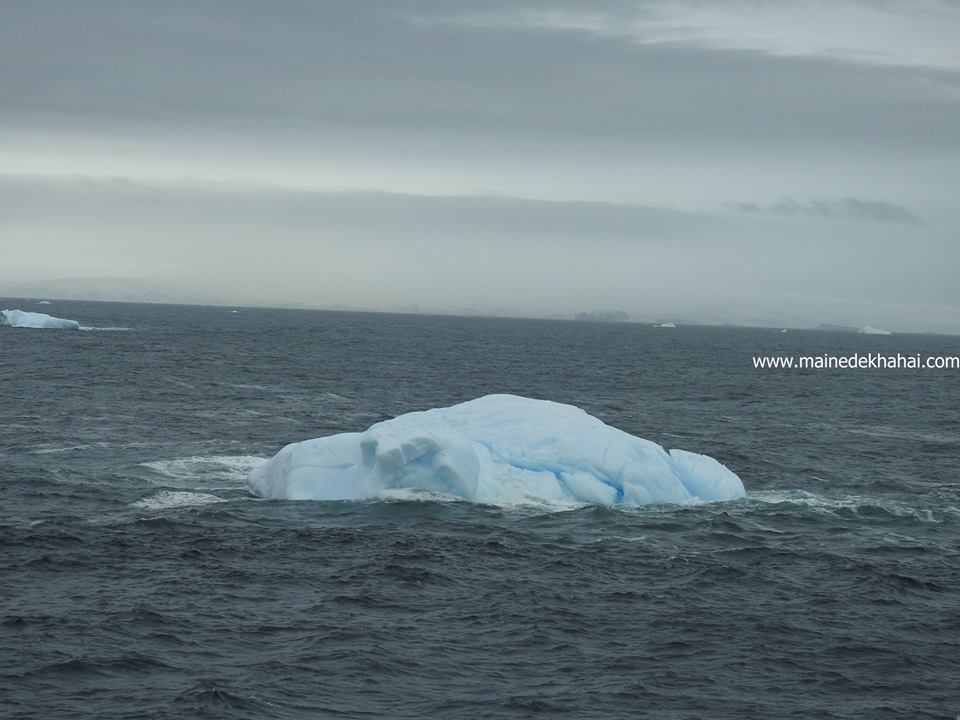
We absorbed the first views of the Antarctic as we ship cruise into Crystal Sound. Crystal Sound lies between the Biscoe Islands and the coast of Graham Land, near the Antarctic Circle. It was named by the British Antarctic Survey in 1960, in reference to the several nearby sites that are named after scientific research on ice crystals.
This afternoon, we were to land at Detaille Island. Detaille Island lies off the northwestern side of Andresen Island and about 6km (4 mi) off the western coast of the Palmer Peninsula in the northern part of the Lallemand Fjord. It was discovered by the French Antarctic Expedition (1908-10) under Charcot, who named it for Monsieur Detaille of Punta Arenas, a shareholder in the Magellan Whaling Company, who assisted Charcot in obtaining supplies at the company’s whaling base at Deception Island.
Thanks for reading this experience.
Next chapter will be posted soon.
Shruti


